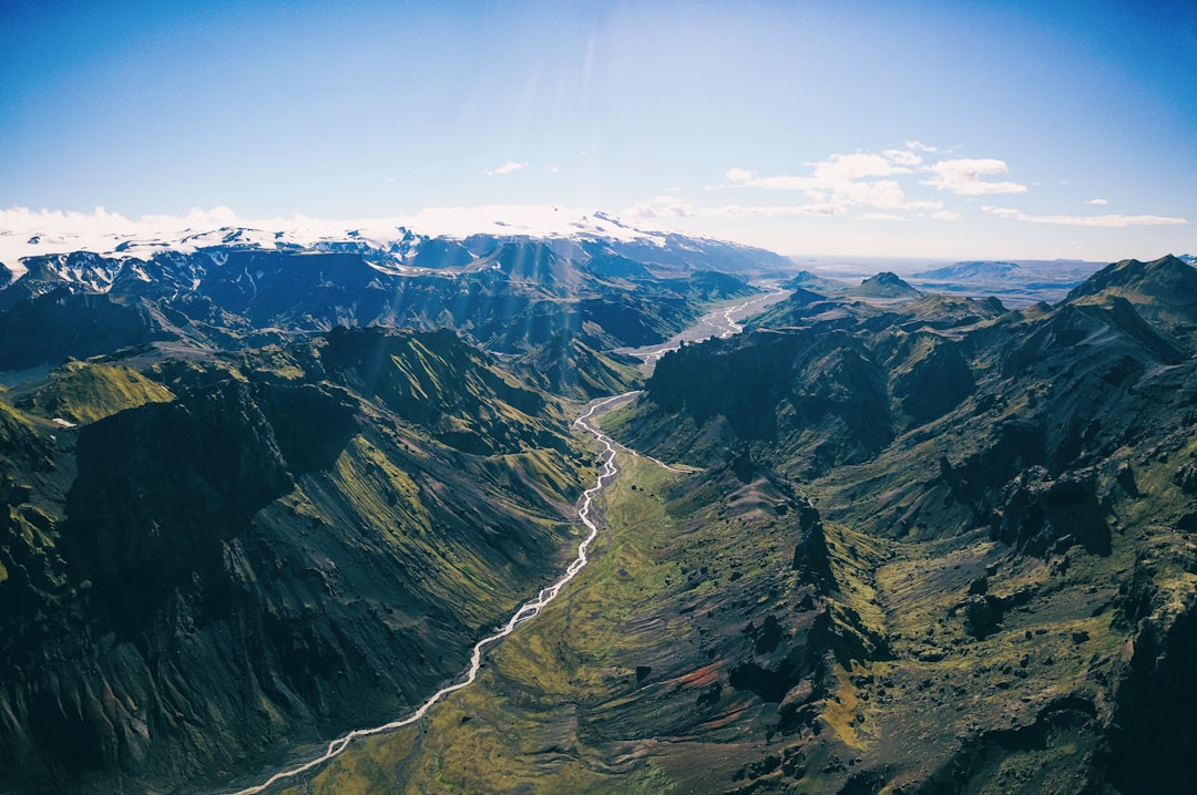
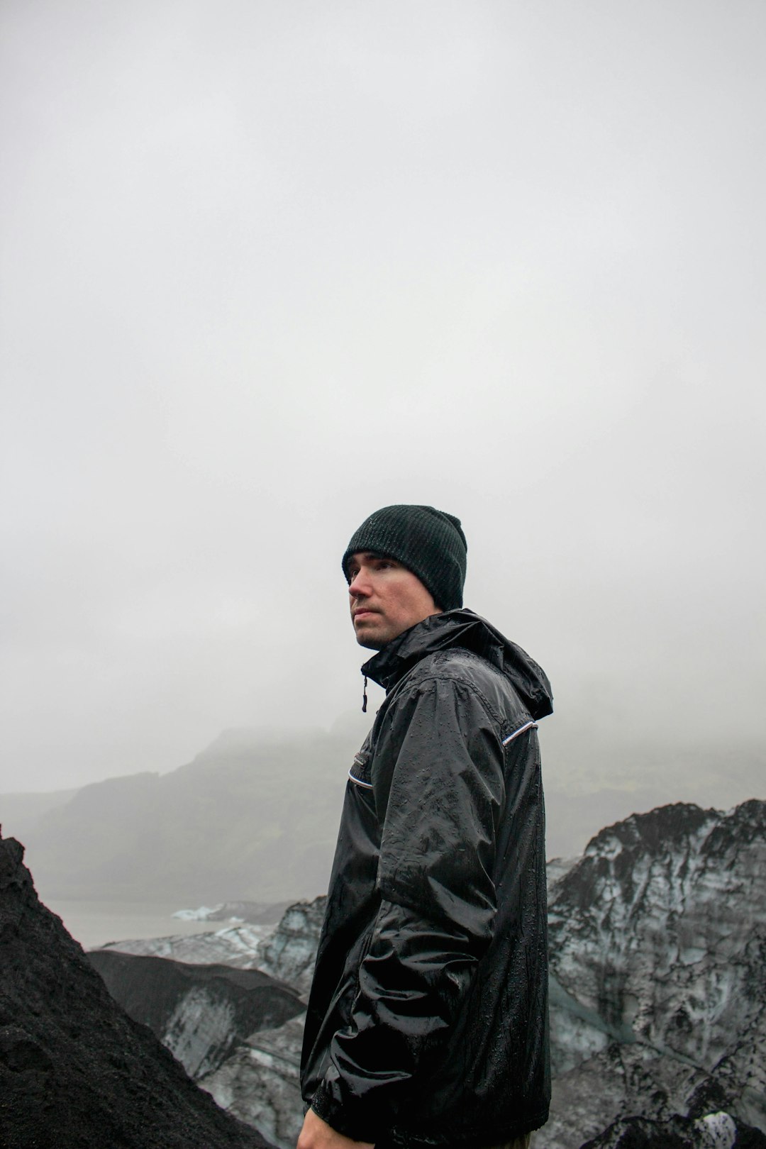
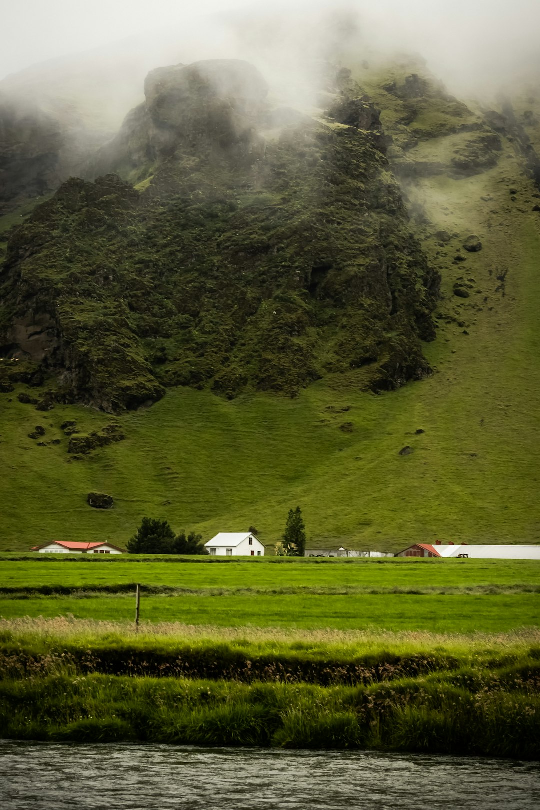
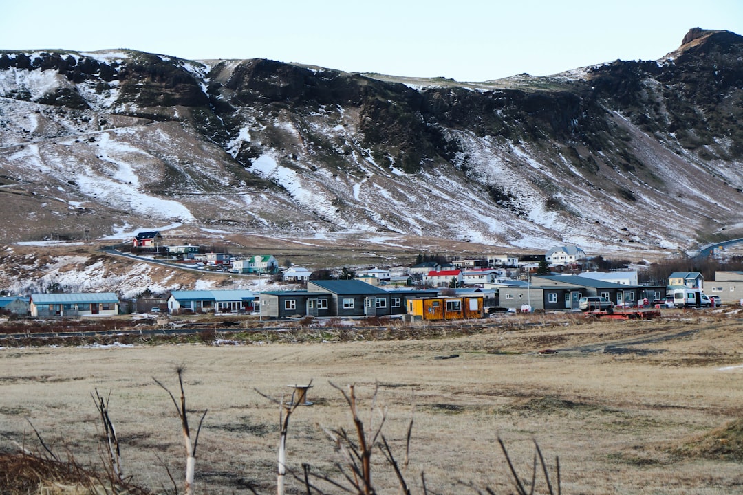
The Best Hill station Photo Spots around Rangárþing eystra in Iceland
Explore Hill station pictures of Rangárþing eystra with the travel spots on a map
Download the Travel Map of Iceland on Google Maps here
7 Hill station Spots of Rangárþing eystra on a Map
Pictures of Hill station on the interacive map of Rangárþing eystra
Download On Google Maps 🗺️📲Hill station Spots and Pictures around Rangárþing eystra
Discover popular destinations in Rangárþing eystra with their travel guides
Skógafoss
Read the Travel guide View on Google Maps
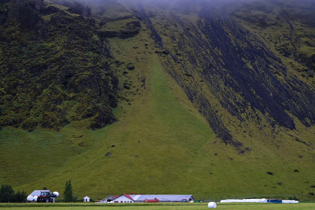
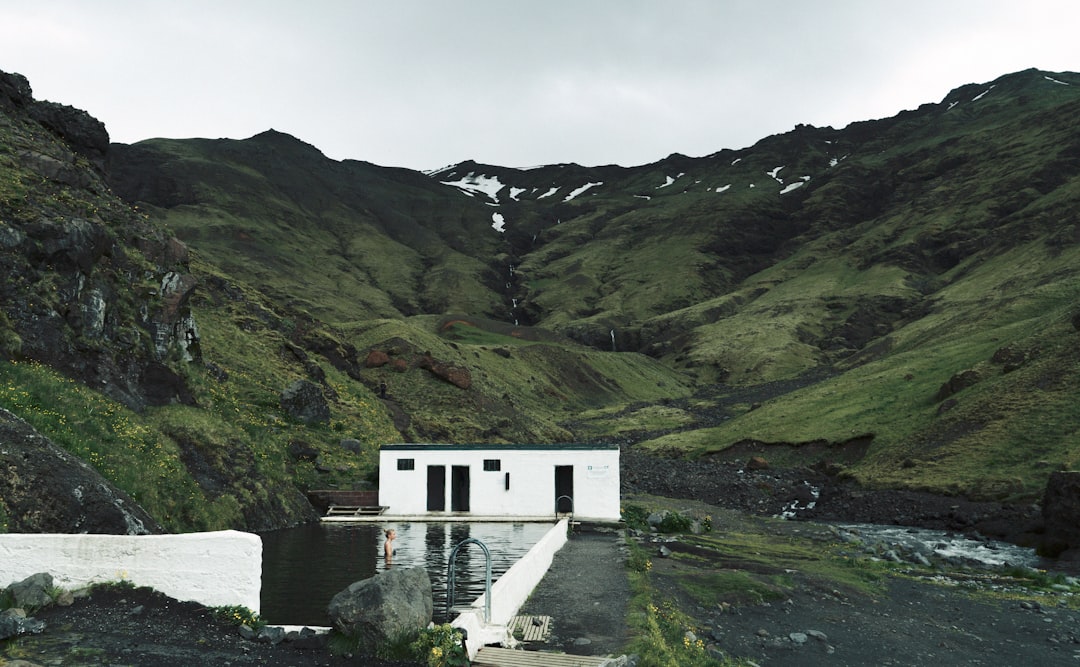
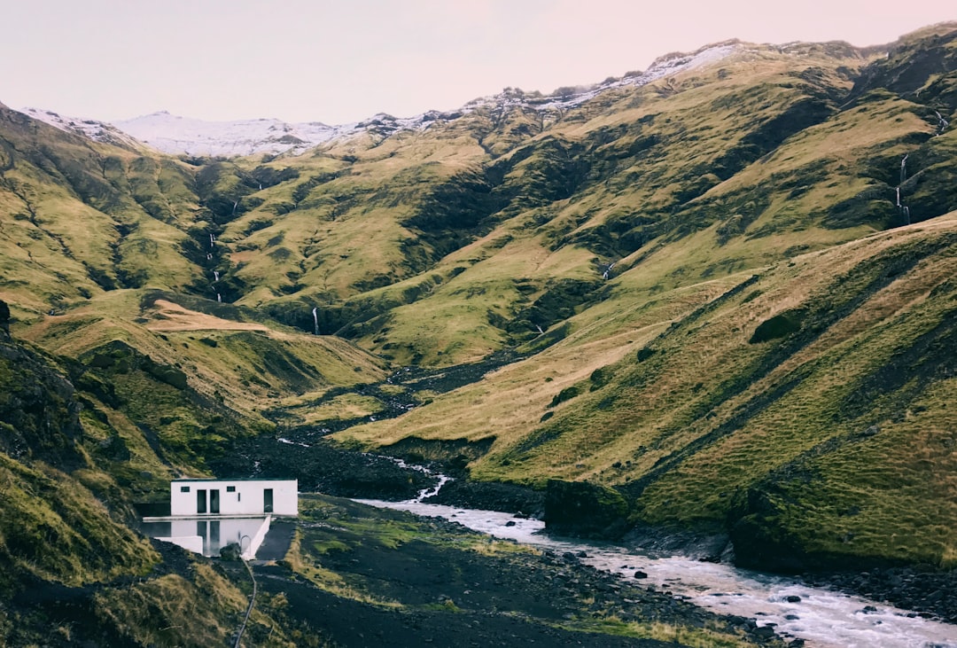
Seljavallalaug Zwembad
11 km away from Rangárþing eystra
Read the Travel guide View on Google Maps
Southern Region
11 km away from Rangárþing eystra
Read the Travel guide View on Google Maps

Rettarfell
15 km away from Rangárþing eystra
Read the Travel guide View on Google Maps
Básar
18 km away from Rangárþing eystra
Read the Travel guide View on Google Maps
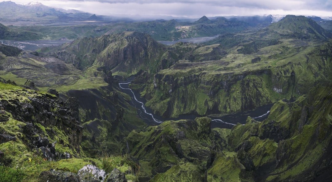
Sólheimajökull
24 km away from Rangárþing eystra
Read the Travel guide View on Google Maps
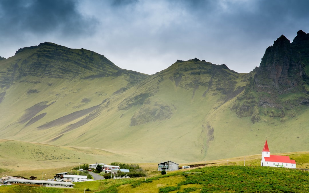
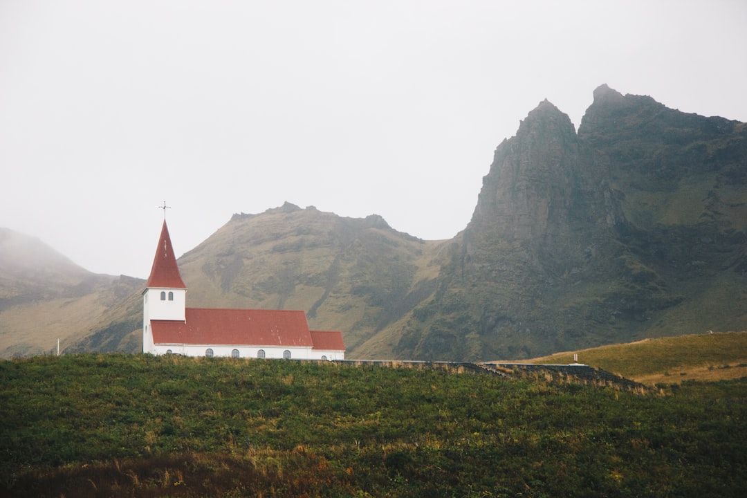
Vik
44 km away from Rangárþing eystra
Read the Travel guide View on Google Maps
Book your Travel Experience in Rangárþing eystra
Discover the best tours and activities in Rangárþing eystra and book your travel experience today with our booking partners
Learn More about Rangárþing eystra
Find Hotels in Rangárþing eystra
Discover the best hotels around Rangárþing eystra, Iceland and book your stay today with our booking partner booking.com